
Mapwith.ai
Rapid Editor - AI-Powered Map Overlay
| Added on: | Apr 28, 2024 |
| Monthly Visits: | -- |
| Social & Email: | -- |

What is Mapwith.ai
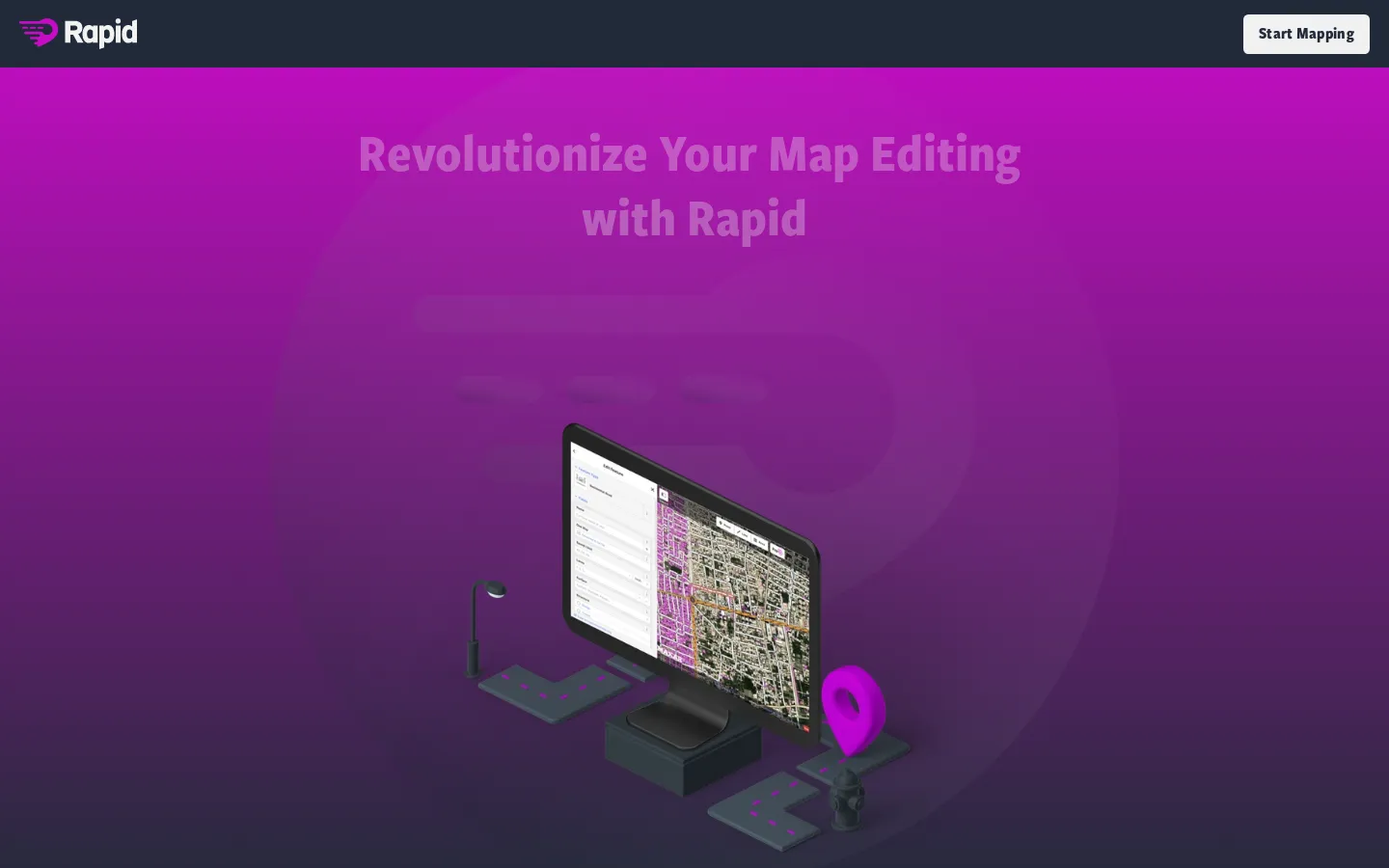
Mapwith.ai is a powerful tool that allows users to extract valuable insights from satellite imagery. The platform leverages artificial intelligence to create detailed map overlays, such as the magenta layer you see on their website. These overlays can predict features, helping users understand the landscape in a whole new way. Whether you're a researcher, developer, or simply someone who is curious about the world, Mapwith.ai can help you explore and analyze the Earth's surface with ease. The platform allows you to browse the map and access these AI-powered features, offering a wealth of information about different areas. Mapwith.ai brings the world to your fingertips, making it easy for you to gain knowledge and understanding from the vast amount of satellite data available.
Core Features of Mapwith.ai
Rapid Editor
Mapwith.ai uses AI to automatically create map overlays from satellite imagery. This process, known as "rapid editing," allows users to quickly and easily create maps that highlight specific features of interest. For example, you can use Mapwith.ai to create maps showing the location of buildings, roads, or other features, all without manually drawing them yourself. The tool helps you easily identify and highlight important features in satellite imagery, making it a valuable tool for a variety of applications.
Map Browsing
Mapwith.ai provides a user-friendly interface for browsing maps. You can zoom in and out of the map, pan around to different locations, and interact with the various layers that are available. The platform allows you to seamlessly explore and navigate through the maps, providing a comprehensive view of the areas of interest.
AI-Powered Features
Mapwith.ai utilizes AI to analyze satellite imagery and automatically identify and predict features. The tool can identify various elements like buildings, roads, water bodies, and other structures, significantly speeding up the process of creating detailed maps. This allows for the creation of insightful and accurate maps that can be used for a range of purposes.
FAQs of Mapwith.ai
What is Mapwith.ai?
Mapwith.ai is a platform that uses AI to analyze satellite imagery and predict features in the real world. Think of it like a super-powered Google Maps that can see beyond the surface. For example, it can identify potential areas for farming, pinpoint buildings, or even detect deforestation.
How does it work?
The AI "learns" from existing data, like satellite images and ground truth information. This knowledge helps it analyze new images and make predictions about what's in them. It's basically like a super-smart detective for satellite images.
Why is Mapwith.ai useful?
It can help businesses and organizations understand the world around them better. For example, it can be used to:
- Find potential sites for new businesses or projects.
- Monitor deforestation and other environmental changes.
- Improve disaster response by mapping affected areas.
- Plan urban development and infrastructure projects.
What makes Mapwith.ai different?
The platform is very user-friendly and accessible. You don't need to be an expert in AI or data science to use it. It's also constantly being improved with new features and capabilities.
How can I try it out?
You can check out the platform on their website, https://mapwith.ai/ and explore the interactive map. It's a great way to see the power of AI in action!
