Mapwith.ai Core Features
Browse the map and explore satellite imagery with the magenta layer, an AI-generated map overlay. Discover predicted features and more. Visit Rapid Editor now!

Core Features of Mapwith.ai
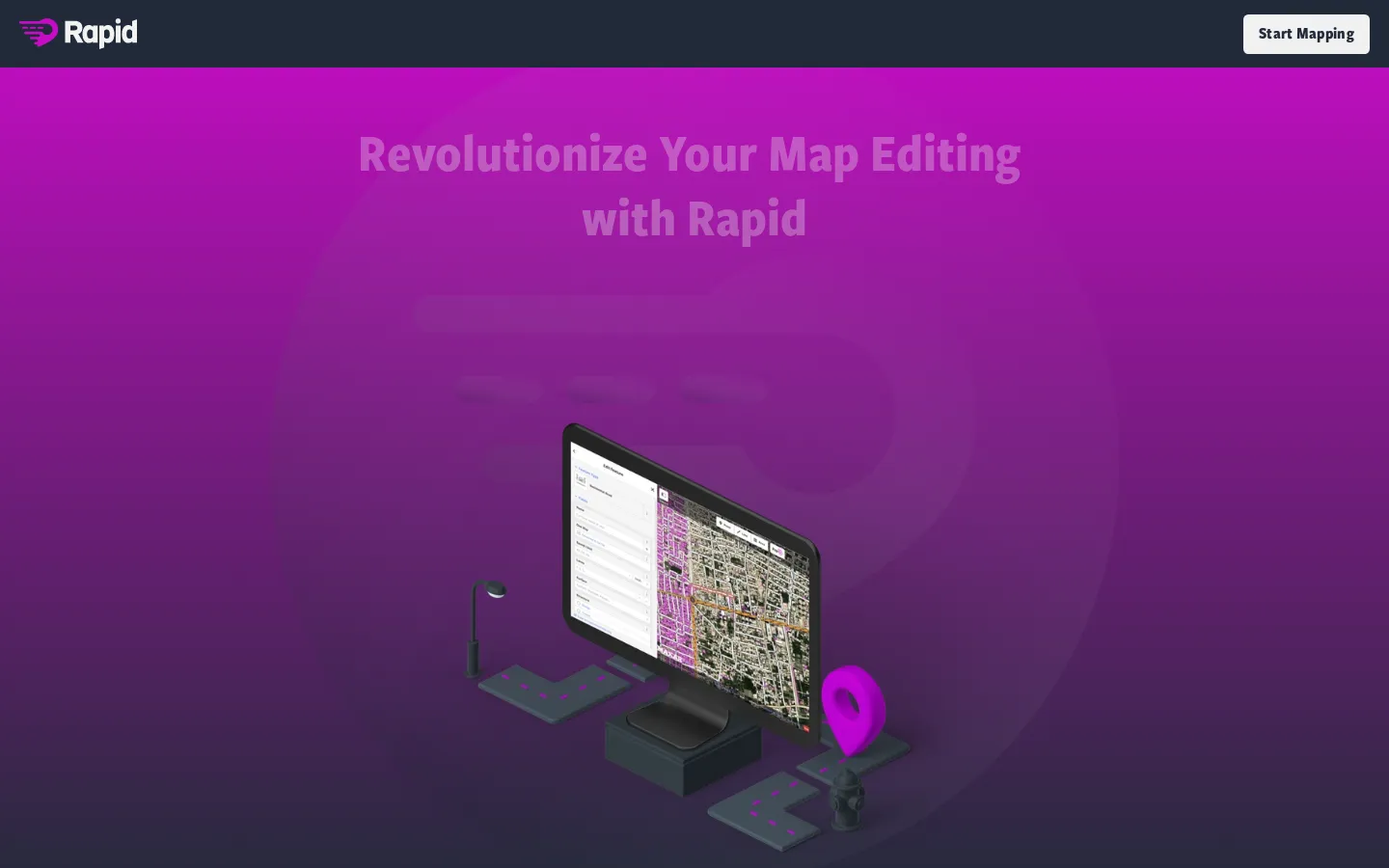
Rapid Editor
Mapwith.ai uses AI to automatically create map overlays from satellite imagery. This process, known as "rapid editing," allows users to quickly and easily create maps that highlight specific features of interest. For example, you can use Mapwith.ai to create maps showing the location of buildings, roads, or other features, all without manually drawing them yourself. The tool helps you easily identify and highlight important features in satellite imagery, making it a valuable tool for a variety of applications.
Map Browsing
Mapwith.ai provides a user-friendly interface for browsing maps. You can zoom in and out of the map, pan around to different locations, and interact with the various layers that are available. The platform allows you to seamlessly explore and navigate through the maps, providing a comprehensive view of the areas of interest.
AI-Powered Features
Mapwith.ai utilizes AI to analyze satellite imagery and automatically identify and predict features. The tool can identify various elements like buildings, roads, water bodies, and other structures, significantly speeding up the process of creating detailed maps. This allows for the creation of insightful and accurate maps that can be used for a range of purposes.